For the first time in Ukraine, a local community has benefited from a spatial development plan
12 May 2025 13:08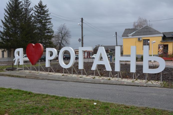
For the first time, functional zones based on a comprehensive plan for community spatial development have been included in the State Land Cadastre. This was reported by Olena Shulyak, chairman of the parliamentary committee on the organization of state power, local self-government, regional development and urban planning, "Komersant Ukrainian" reports.
According to her, the Rohan community in Kharkiv region became a pilot community. More than 2,300 zones have been entered into the State Land Cadastre, each with a clear purpose.
“This is a solution that gives results: predictable development, clear rules for business, protection of community interests,” the MP emphasized.
What is a comprehensive community spatial development plan?
This is both urban planning and land management documentation. The plan divides the community’s territory into functional zones: land for residential development, industrial and recreational purposes, etc. The community determines which areas will be prioritized for investment and job creation, which areas will be used for social infrastructure development (construction of schools, hospitals, etc.), and which areas must be protected to preserve biodiversity.
That is, the plan determines what and where to locate, how to develop infrastructure, how to take into account the environment, safety, road network, and critical facilities. Without it, communities build at random.
According to Olena Shulyak, the Rohan and Pisochyn communities in the Kharkiv Oblast were the first in Ukraine to develop their own comprehensive plans.
This became possible thanks to the Law of Ukraine of June 17, 2020, No. 711-IX “On Amendments to Certain Legislative Acts of Ukraine on Land Use Planning”.
“When each community has such a document, development will become clear, investments will be predictable, and development will be systematic. Now the main thing is to scale. Because the restoration of Ukraine begins not with projects, but with planning,” the MP emphasized.
As a reminder, starting from January 1, 2025, communities will be prohibited from using detailed territory plans, the second most corruption-risk document in urban planning, for land allocation and change of land use. To be able to do this, a community must have a plan for its spatial development. In the absence of such a document, land allocation is impossible.
The main stages of developing a comprehensive plan
The creation of a plan consists of three stages: preparatory, main and final. The preparatory stage includes, in particular:
– making a decision on the development;
– formation of a working group;
– collection of initial data;
– approval of the development task;
– determination of the developer.
During the main stage, you need to, in particular:
– transfer the initial data to the developer;
– develop a spatial development plan;
– conduct a strategic environmental assessment;
– hold public hearings on the project;
– review the project by the architectural and urban planning council;
– coordinate the project with neighboring territorial communities;
– approve the project and publish it.
According to the calculations, the total duration of the preparatory stage processes is approximately 31 weeks. The main stage takes about 50 weeks. More information on the specifics of preparing a community spatial development plan can be found here.
When developing the plan, special attention should be paid to procedural issues, including those related to notifying community residents and involving as many stakeholders as possible, from local investors to environmental activists.
A strategic session is a mandatory public event of public discussion on the formation of the task for developing a comprehensive plan. At the same time, a strategic environmental assessment of the draft spatial development plan should also take place.