Ukraine will experience a thaw for several days: what to expect on January 28–29 and what will happen next
27 January 21:46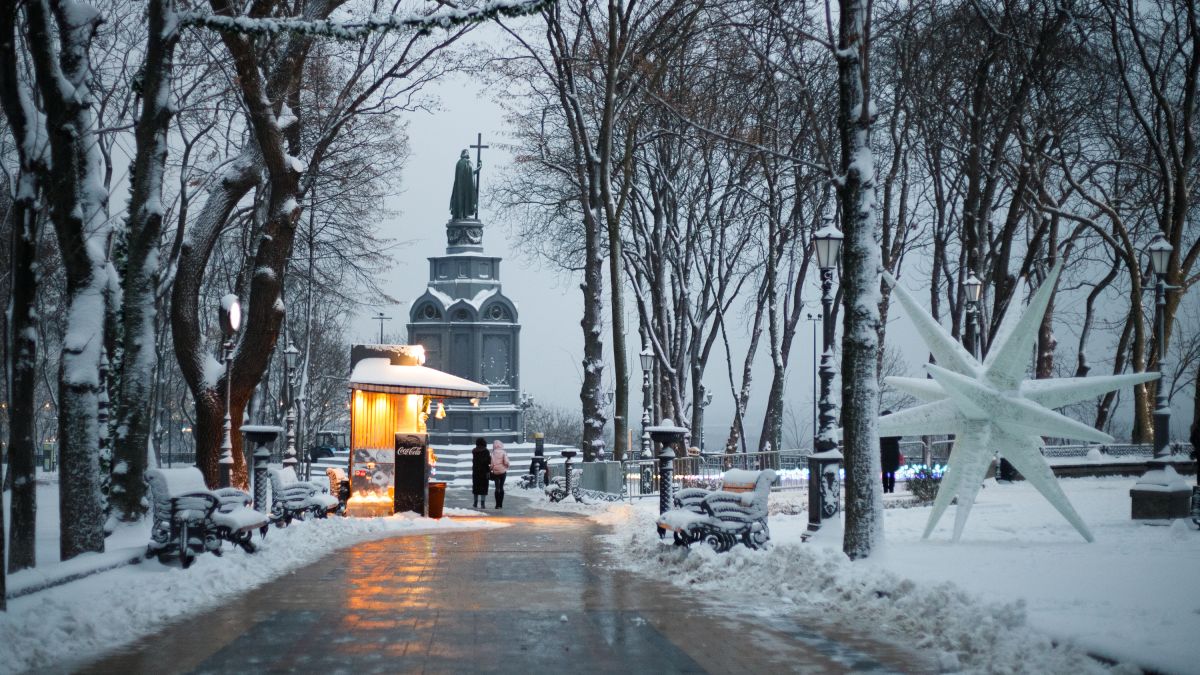
A general warming and thaw is expected in Ukraine on January 28–29, with air temperatures across the country rising to around zero and above. This was reported by weather forecaster Natalka Didenko, according to "Komersant Ukrainian".
According to her forecast, the cold weather will significantly ease over the two days, with daytime temperatures in most regions ranging from 0 to 3°C.
Where will it be warmest?
The highest temperatures are forecast in the south of the country:
- southern regions: 3… 6°C
- Crimea: 6–14°C
These values significantly exceed the average for the end of January and create conditions for unstable winter weather.
Precipitation and ice: main risks
The warming will be accompanied by mixed precipitation. On Wednesday, it will be:
- in the north, west, center of Ukraine, and in the Kharkiv region — in the form of wet snow, freezing rain, and rain.
Forecasters warn of ice, which can form not only on roads and sidewalks, but also on vertical surfaces — trees, poles, wires — increasing the risk of injuries and accidents.
No significant precipitation is forecast in the south, as well as in the Donetsk and Luhansk regions.
Weather in Kyiv: warm but gray
On January 28 , the capital is expected to have wet, cloudy weather with periodic wet snow or rain. Fog will add to the precipitation, which may reduce visibility to 300-500 meters.
At the same time, the air temperature in Kyiv will rise to 1°C during the day, which will partially compensate for the discomfort caused by high humidity.
Return of cold weather
According to the forecast, on January 30–31, a new mass of Arctic air will begin to enter Ukraine, leading to another cold snap.
Forecasters emphasize that in the conditions of a changeable winter, long-term forecasts remain tentative, and weather scenarios can change quickly.