Scandal During the Solar Eclipse: NASA Depicted Crimea as Part of Russia
13 August 09:21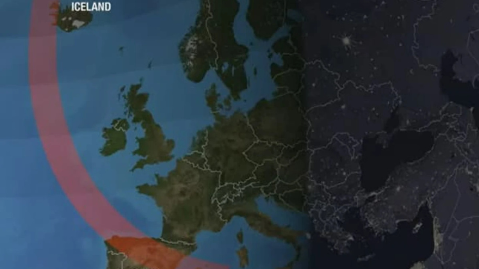
The U.S. National Aeronautics and Space Administration (NASA) found itself at the center of a scandal over a map shown during a live broadcast of the solar eclipse on August 12. On the map, the temporarily occupied Crimea was separated from mainland Ukraine by a line. At the same time, the state border between the peninsula and Russian territory was not visually marked. As a result, the map gave the impression that Crimea belongs to the Russian Federation.
The controversial image appeared during a NASA broadcast on YouTube, according to "Komersant Ukrainian"
How NASA Depicted Crimea
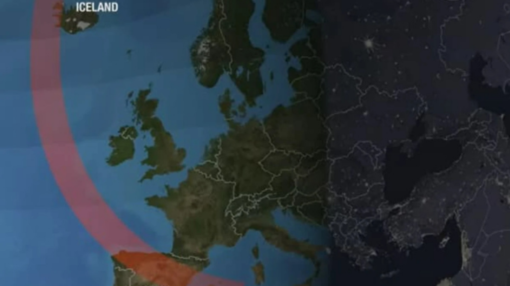
During the broadcast, viewers were shown a map of Europe and the path of the lunar shadow. National borders were marked on the graphic, but in the area of Ukraine they appeared incorrect:
- a dividing line ran between Crimea and mainland Ukraine;
- there was no such line between Crimea and Russia;
- the peninsula was visually depicted as being within the territory of the Russian Federation.
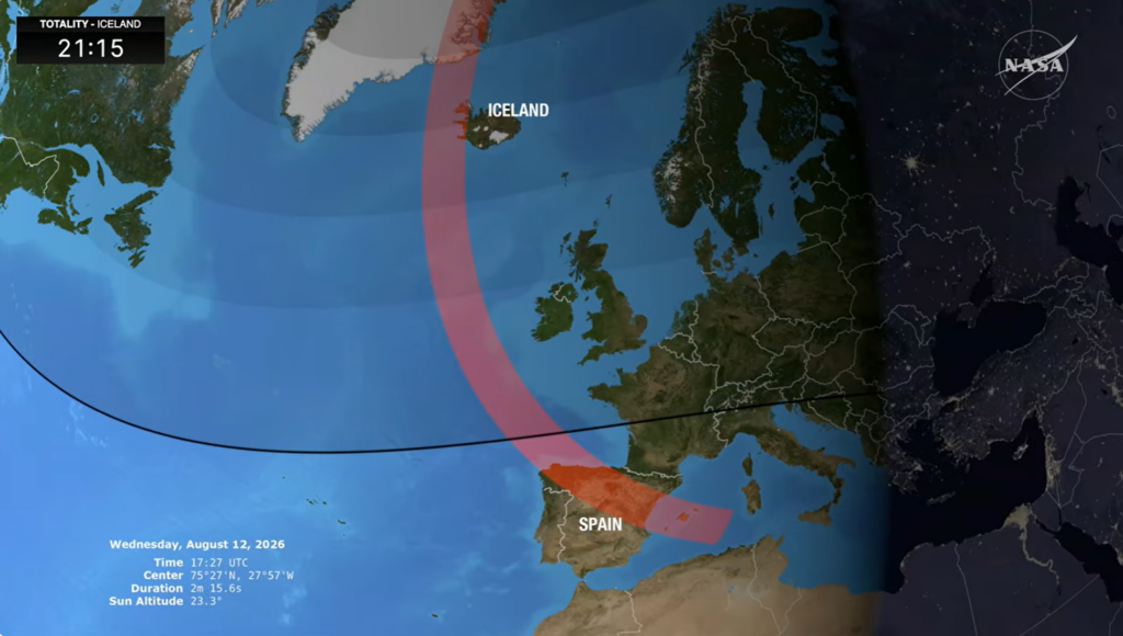
The broadcast did not include a text caption stating that Crimea belongs to Russia. However, the very way the borders were drawn gave reason to perceive the peninsula as Russian territory.
The controversial image appeared around the 13-minute mark of the broadcast.
It has not yet been determined who exactly created the political map used during the broadcast. The broadcast was organized by NASA, but some of the graphic materials may have been prepared by:
- by NASA employees;
- an external contractor;
- a broadcast partner;
- using a third-party mapping service.
NASA has not disclosed which database the national borders were sourced from. There is also no official explanation as to whether the line appeared due to a technical error, incorrect geographic data, or a deliberate choice by the graphics developers.
Has NASA commented on the Crimea controversy?
As of the morning of August 13, NASA had not publicly commented on the situation. The agency has not stated:
- why Crimea was separated from Ukraine;
- who created the map;
- whether the image reflects the official U.S. position;
- whether the broadcast recording will be corrected;
- whether an internal investigation will be conducted.
There has also been no public official response so far from the Ukrainian Ministry of Foreign Affairs or the Ukrainian Embassy in the United States.
Watch us on YouTube: important topics – without censorship
What is the official status of Crimea?
Crimea is an inseparable part of Ukraine, which Russia illegally occupied in 2014. The so-called referendum held by the Russian authorities on the peninsula has no legal force.
Ukraine’s territorial integrity within its internationally recognized borders is reaffirmed by UN General Assembly Resolution No. 68/262. In the document, the international community called on states and organizations not to recognize any changes to Crimea’s status.
The United States also does not officially recognize the Russian annexation. U.S. policy regarding the peninsula was enshrined in the U.S. State Department’s Crimea Declaration.
Therefore, the map shown during the broadcast contradicts Ukraine’s internationally recognized borders and the stated U.S. policy.
Why Cartographic Errors Have Political Significance
Incorrect depictions of occupied territories in materials from major international organizations can be used by Russian propaganda as supposed evidence of a gradual “recognition” of the annexation.
Particularly sensitive are instances where an erroneous map is displayed by a U.S. government agency with a vast international audience.
Even if the image appeared due to a technical error or a third-party mapping service, it can:
- create a false impression of national borders;
- promote the Russian narrative regarding Crimea’s status;
- cast doubt on the consistency of U.S. policy;
- reappear in screenshots and propaganda materials;
- create a false impression among foreign audiences.
That is why Ukraine regularly calls on companies, media outlets, and international institutions to correct maps that depict the occupied territories as lying outside its borders.
What NASA Broadcast on August 12
The live broadcast was dedicated to the total solar eclipse on August 12, 2026. The broadcast featured images from telescopes, expert commentary, and footage from the WB-57 high-altitude research aircraft, which was observing the solar corona.
The path of totality passed through:
- Greenland;
- Iceland;
- northern Russia;
- the Atlantic Ocean;
- Spain;
- a small part of Portugal.
In Ukraine, the eclipse was only partially visible. In many regions, the Sun had set below the horizon before the maximum phase occurred.
It was precisely during the explanation of the eclipse’s path on official television that the controversial map of Europe appeared.
Read us on Telegram: important topics – without censorship